2023/24
Shellharbour

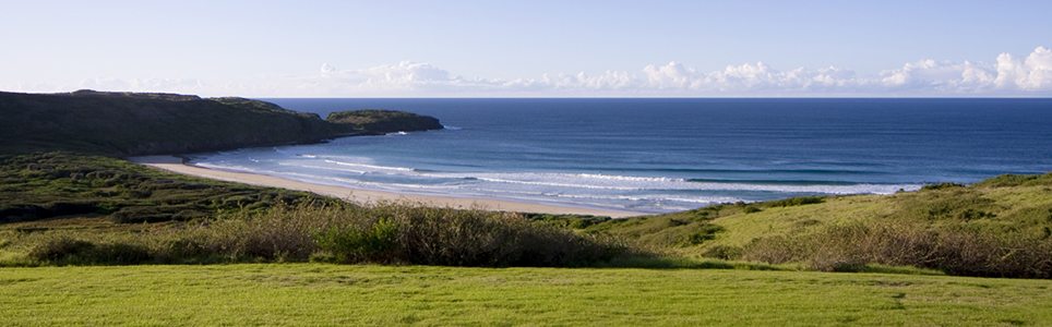
Shellharbour City is located in the Illawarra region in the picturesque South Coast of NSW. The area is bordered by the Tasman Sea, Illawarra Escarpment, Lake Illawarra and Killalea State Park.

The area has an environment of beaches, lakes and National Parks as well as ‘The Farm’ a National Surfing Reserve located within Killalea State Park.

Data for this website has been sourced from Council’s financial statements, Council’s annual report and Council’s data returns. The website also refers to data from a number of agencies and entities. Please refer to the data page of this website for links to definitions, information on performance measures, benchmarks, OLG Groups and the data sources that have been used.

Please contact Council if you would like any further details or explanations regarding individual results and any differences between your Council’s performance and that of another council.

Contacting Council

Address:
76 Cygnet Avenue
Shellharbour City Centre NSW 2529
Postal Address:
Locked Bag 155, Shellharbour City Centre NSW 2529
Phone: 02 4221 6111
Fax: 02 4221 6016

Your Local Government Area

Result
Population (No.) 81,566
Area (Km2) 147.4
Council Classification Regional Town/City
OLG Group 5
State Planning Region Illawarra Shoalhaven
JO Region Illawarra Shoalhaven

Your Council

Result Group Avg. *
Councillors (No.) 9 11
Population per Councillor (No.) 9063 11191
Equivalent Full Time Staff (EFT) (No.) 410 838
2023/24 Revenue ($'000) 162897 342725
2023/24 Expenses ($'000) 136232 263276
Residential Pensioner Rebates (%) 20.11937739 19.30006677
Population Density (residents per Km2) 553 246.70
* A NSW council group is determined firstly by whether they are Urban or Rural in nature, and then by population size and density. Please refer to OLG Groups in data tab on website for more information on how individual councils are classified. An OLG group average is then calculated by the average of the same group number eg. All Group 5 Regional Towns/City or all Group 8 Rural.

Your Public Facilities

Result Group Avg.
Public Swimming Pool Complexes (inc rock pools) (No.) 4 9
Public Halls (No.) 23 24
Public Libraries (No.) 5 5.272727273
Open Public Space (ha) 709 1660.843042
Total Road Length (km) 488.75 1,317.19

Demographics of Population

under 20 years
20 - 59 years
60 years and older

Council population (%)

Group population (%)

8.9%

population change last 5 years

Source: ABS, Estimated Resident Population (ERP)

Your Local Population

Latest Outcome Group Avg.
Five Year Population Change (%) 8.882607568 5.465935368
Population aged under 20 years (%) 23.3 23.31942337
Population aged between 20 and 59 years (%) 46.5 46.47427912
Population aged 60 years and older (%) 30.2 30.2062975
Aboriginal & Torres Strait Islanders (%) 5.7 6.524449792
Speaks language other than English at home (%) 9.8 7.018181818
Socio-Economic Index Rank (1 low, 128 high) 72 71

Council Population Gender

Aboriginal & Torres
Strait Islander

Language Diversity

Rest of population

Your local population (%)


Your Local Economy

Result Group Avg.
Unemployment Rate (%) 6.3 3.809090909
Avg Taxable Income ($) 61692 58454.45455
Avg Household Size (No.) 2.7 2.454545455
Value of DA's determined ($'000) 272950 373674
Active Businesses in LGA (No.) 4139 8930.545455

Largest Industry Employer

Health care / Social