2021/22
Murray River

Murray River is known for its agriculture and food sector, resulting from rich alluvial soil and irrigation opportunities. Other significant industries include retail trade, construction, manufacturing, health and community services, land care and catchment management, professional services, small service industries and tourism. The main population centres include Barham, Mathoura, Moama, Moulamein, Murray Downs, Tooleybuc and Wakool. Other settlements include Bunnaloo, Goodnight, Koraleigh and Womboota.

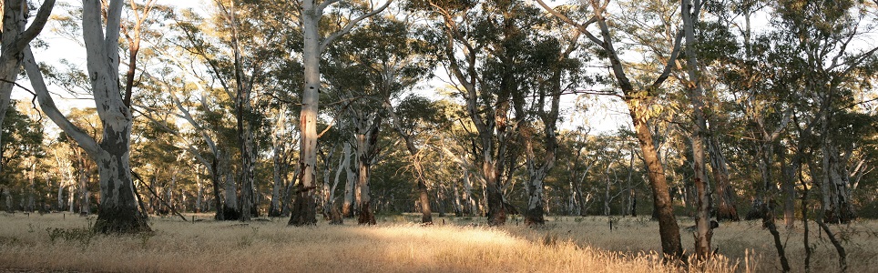
The area boasts of its sweeping plains and Redgum forests and is almost totally surrounded by the Murray River and its tributaries.

Data for this website has been sourced from Council’s financial statements, Council’s annual report and Council’s data returns. The website also refers to data from a number of agencies and entities. Please refer to the data page of this website for links to definitions, information on performance measures, benchmarks, OLG Groups and the data sources that have been used.

Please contact Council if you would like any further details or explanations regarding individual results and any differences between your Council’s performance and that of another council.

Contacting Council

Address:
21-25 Conargo Street
Mathoura NSW 2710
Postal Address:
PO Box 21, Mathoura NSW 2710
Phone: 1300 087 004
Fax: 03 5884 3417

Your Local Government Area

Result
Population (No.) 12,780
Area (Km2) 11,863.00
Council Classification Large Rural
OLG Group 11
State Planning Region Riverina Murray
JO Region Riverina and Murray

Your Council

Result Group Avg. *
Councillors (No.) 9 9
Population per Councillor (No.) 1,420 1,558
Equivalent Full Time Staff (EFT) (No.) 201 176
2021/22 Revenue ($'000) 64,910,000 62,597,889
2021/22 Expenses ($'000) 68,337,000 50,287,889
Residential Pensioner Rebates (%) 20 21
Population Density (residents per Km2) 1 4
* A NSW council group is determined firstly by whether they are Urban or Rural in nature, and then by population size and density. Please refer to OLG Groups in data tab on website for more information on how individual councils are classified. An OLG group average is then calculated by the average of the same group number eg. All Group 5 Regional Towns/City or all Group 8 Rural.

Your Public Facilities

Result Group Avg.
Public Swimming Pool Complexes (inc rock pools) (No.) 5 5
Public Halls (No.) 18 10
Public Libraries (No.) 3 2
Open Public Space (ha) 192 301
Total Road Length (km) 3,065 1,728

Demographics of Population

under 20 years
20 - 59 years
60 years and older

Council population (%)

Group population (%)

6.9%

population change last 5 years

Source: ABS, Estimated Resident Population (ERP)

Your Local Population

Latest Outcome Group Avg.
Five Year Population Change (%) 6.9 1.7
Population aged under 20 years (%) 17.1 19.4
Population aged between 20 and 59 years (%) 54.9 58.5
Population aged 60 years and older (%) 28 22.1
Aboriginal & Torres Strait Islanders (%) 3 7
Speaks language other than English at home (%) 3 11
Socio-Economic Index Rank (1 low, 128 high) 78 44

Council Population Gender

Aboriginal & Torres
Strait Islander

Language Diversity

Rest of population

Your local population (%)


Your Local Economy

Result Group Avg.
Unemployment Rate (%) 2.2 3.5
Avg Taxable Income ($) 50,647 53,624
Avg Household Size (No.) 2.3 2.4
Value of DA's determined ($'000) 0 16,769,104
Active Businesses in LGA (No.) 1,292 1,501

Largest Industry Employer

Agriculture, Forestry and Fishing