2023/24
Hunters Hill

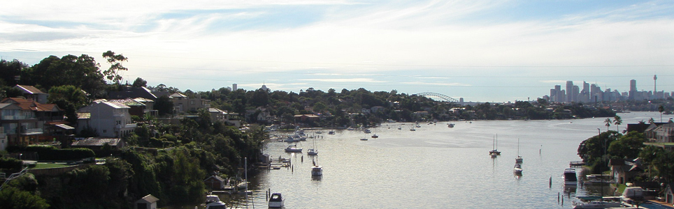
Hunters Hill Municipality is located about 7 kilometres from the Sydney GPO. Hunters Hill is the smallest local government area in metropolitan Sydney, covering an area of 6 square kilometres, and is recognised as Australia’s oldest garden suburb, with 75% of the Municipality declared a conservation area. Hunters Hill is bound by Buffalo Creek and the Lane Cove River in the north, Tarban Creek and the Parramatta River in the south, and Punt Road, Victoria Road, Pittwater Road and the City of Ryde in the west.

The Municipality includes the suburbs of Gladesville (part), Henley, Hunters Hill, Huntleys Cove, Huntleys Point and Woolwich. The Municipality is predominantly a residential area with very little commercial or industrial land use.

Data for this website has been sourced from Council’s financial statements, Council’s annual report and Council’s data returns. The website also refers to data from a number of agencies and entities. Please refer to the data page of this website for links to definitions, information on performance measures, benchmarks, OLG Groups and the data sources that have been used.

Please contact Council if you would like any further details or explanations regarding individual results and any differences between your Council’s performance and that of another council.

Contacting Council

Address:
Town Hall, 22 Alexandra Street
Hunters Hill NSW 2110
Postal Address:
PO Box 21, Hunters Hill NSW 2110
Phone: 02 9879 9400
Fax: 02 9809 7338

Your Local Government Area

Result
Population (No.) 14,062
Area (Km2) 5.7
Council Classification Metropolitan
OLG Group 2
State Planning Region Metropolitan Sydney

Your Council

Result Group Avg. *
Councillors (No.) 7 9
Population per Councillor (No.) 2009 4619
Equivalent Full Time Staff (EFT) (No.) 54 195
2023/24 Revenue ($'000) 28326 79343
2023/24 Expenses ($'000) 21891 64784
Residential Pensioner Rebates (%) 6.757313556 5.61143237
Population Density (residents per Km2) 2,467 3,991.52
* A NSW council group is determined firstly by whether they are Urban or Rural in nature, and then by population size and density. Please refer to OLG Groups in data tab on website for more information on how individual councils are classified. An OLG group average is then calculated by the average of the same group number eg. All Group 5 Regional Towns/City or all Group 8 Rural.

Your Public Facilities

Result Group Avg.
Public Swimming Pool Complexes (inc rock pools) (No.) 0 1
Public Halls (No.) 5 5
Public Libraries (No.) 0 1.5
Open Public Space (ha) 102.6 81.93833333
Total Road Length (km) 55.78 97.36

Demographics of Population

under 20 years
20 - 59 years
60 years and older

Council population (%)

Group population (%)

6.3%

population change last 5 years

Source: ABS, Estimated Resident Population (ERP)

Your Local Population

Latest Outcome Group Avg.
Five Year Population Change (%) -6.301735648 -1.732885399
Population aged under 20 years (%) 20.8 20.82846712
Population aged between 20 and 59 years (%) 56.5 56.45694683
Population aged 60 years and older (%) 22.7 22.71458605
Aboriginal & Torres Strait Islanders (%) 0.6 0.437835231
Speaks language other than English at home (%) 19.8 34.71666667
Socio-Economic Index Rank (1 low, 128 high) 123 120.3333333

Council Population Gender

Aboriginal & Torres
Strait Islander

Language Diversity

Rest of population

Your local population (%)


Your Local Economy

Result Group Avg.
Unemployment Rate (%) 2.6 3.016666667
Avg Taxable Income ($) 142482 121095.8333
Avg Household Size (No.) 2.7 2.633333333
Value of DA's determined ($'000) 54677 149428
Active Businesses in LGA (No.) 1979 5585.833333

Largest Industry Employer

Professional, scientific and technical services