2021/22
Gwydir

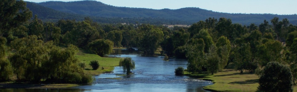
Gwydir Shire extends from the Nadewar Range in the south and, in the north, close to the Queensland border. The landscapes of the Shire are diverse and in places, breathtaking. The southern and central areas of the Shire are located within the Gwydir River catchment area with the Gwydir River flowing through Bigara and Gravesend.

The southern areas of the Shire are hilly with pockets of highly fertile river flats along the Gwydir River and its main tributaries. Agriculture is the primary land use and economic activity, dominated in the southern and central areas of the Shire with livestock production. Broadacre cropping is undertaken in the northern part of the Shire, with the main crops being wheat, sorghum and barley.

Data for this website has been sourced from Council’s financial statements, Council’s annual report and Council’s data returns. The website also refers to data from a number of agencies and entities. Please refer to the data page of this website for links to definitions, information on performance measures, benchmarks, OLG Groups and the data sources that have been used.

Please contact Council if you would like any further details or explanations regarding individual results and any differences between your Council’s performance and that of another council.

Contacting Council

Address:
33 Maitland Street
Bingara NSW 2404
Postal Address:
Locked Bag 5, Bingara NSW 2404
Phone: 02 6724 2000
Fax: 02 6724 1771

Your Local Government Area

Result
Population (No.) 4,911
Area (Km2) 9,259.70
Council Classification Large Rural
OLG Group 10
State Planning Region New England North West
JO Region Namoi

Your Council

Result Group Avg. *
Councillors (No.) 9 9
Population per Councillor (No.) 546 835
Equivalent Full Time Staff (EFT) (No.) 171 117
2021/22 Revenue ($'000) 44,881,000 40,386,783
2021/22 Expenses ($'000) 35,279,000 29,823,217
Residential Pensioner Rebates (%) 34 22
Population Density (residents per Km2) 1 2
* A NSW council group is determined firstly by whether they are Urban or Rural in nature, and then by population size and density. Please refer to OLG Groups in data tab on website for more information on how individual councils are classified. An OLG group average is then calculated by the average of the same group number eg. All Group 5 Regional Towns/City or all Group 8 Rural.

Your Public Facilities

Result Group Avg.
Public Swimming Pool Complexes (inc rock pools) (No.) 2 2
Public Halls (No.) 9 6
Public Libraries (No.) Not recorded 2
Open Public Space (ha) 131 190
Total Road Length (km) 2,329 1,729

Demographics of Population

under 20 years
20 - 59 years
60 years and older

Council population (%)

Group population (%)

7.6%

population change last 5 years

Source: ABS, Estimated Resident Population (ERP)

Your Local Population

Latest Outcome Group Avg.
Five Year Population Change (%) -7.6 -1.6
Population aged under 20 years (%) 18 18.4
Population aged between 20 and 59 years (%) 53.3 57.7
Population aged 60 years and older (%) 28.7 23.9
Aboriginal & Torres Strait Islanders (%) 6 9
Speaks language other than English at home (%) 1 4
Socio-Economic Index Rank (1 low, 128 high) 38 44

Council Population Gender

Aboriginal & Torres
Strait Islander

Language Diversity

Rest of population

Your local population (%)


Your Local Economy

Result Group Avg.
Unemployment Rate (%) 5 4.3
Avg Taxable Income ($) 49,753 50,735
Avg Household Size (No.) 2.3 2.4
Value of DA's determined ($'000) 4,669,774 7,028,946
Active Businesses in LGA (No.) 761 860

Largest Industry Employer

Agriculture, Forestry and Fishing